Java Map Editor - Gallery 2
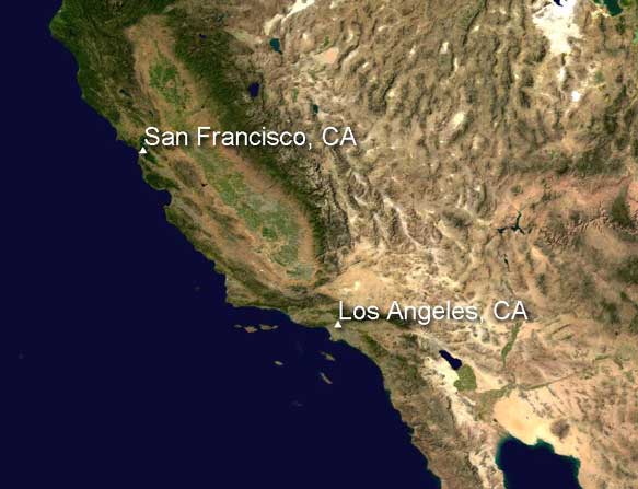
This map contains two layers. The background is a NASA visible earth image which started life as two TIFF images each 21600 pixels square. A set of lower resolution version was created using JAI and these then loaded as a multi-resolution image layer. This allows the viewer to zoom from a view of the whole Earth down to individual pixels at high speed. The second layer contains symbol and text features created from the gazetteer and has a drop shadow effect applied.